Mountain
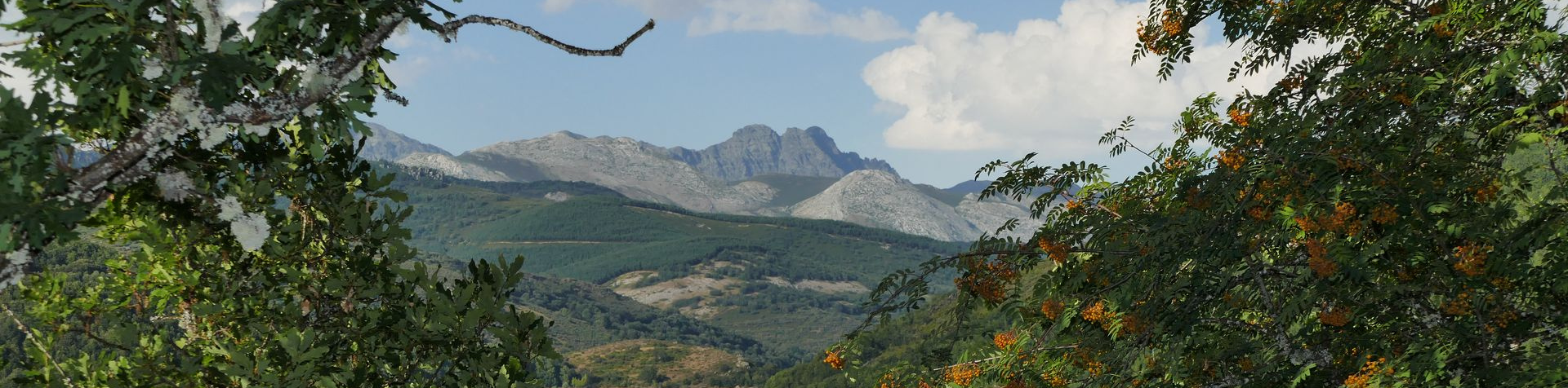
The north of Palencia, known as the Palentian Mountain Range, is comprised of several districts and valleys. It limits to the west with Leon, to the north with Cantabria, and to the south with Burgos. This is a privileged area with myriad attractions and resources. It is home to the highest peaks in the province - Curavacas, Espigüete and Las Lomas. The Rivers Carrion and Pisuerga, which arise in these mountains, flow to the reservoirs of Camporredondo, Compuerto, Requejada, and Ruesga.
The Fuentes Carrionas route will take you to the highest peaks in the Palencia Mountain Range: Curavacas (2,525 m), Espigüete (2,450 m) and Las Lomas (2,451 m). The area takes its name from the River Carrión, whose source is in Fuentes Carrionas Lagoon. This already mighty river also gets water from the Camporredondo and Compuerto Reservoirs. The diversity of its oak and beech forests, the excellent pastures, and the quantity and quality of its fishing and hunting areas are assured.
Part of this territory has been designated Fuentes de Carrionas and Fuente Cobre - Palencia Mountain Range Nature Park. The municipalities under the scope of protection of the nature park are Velilla del Río Carrión, Aguilar de Campoo, San Cebrián de Mudá, Cervera de Pisuerga, Triollo, Pollentinos, Brañosera, La Pernía, Castejón de la Peña and Dehesa de Montejo.


